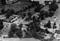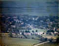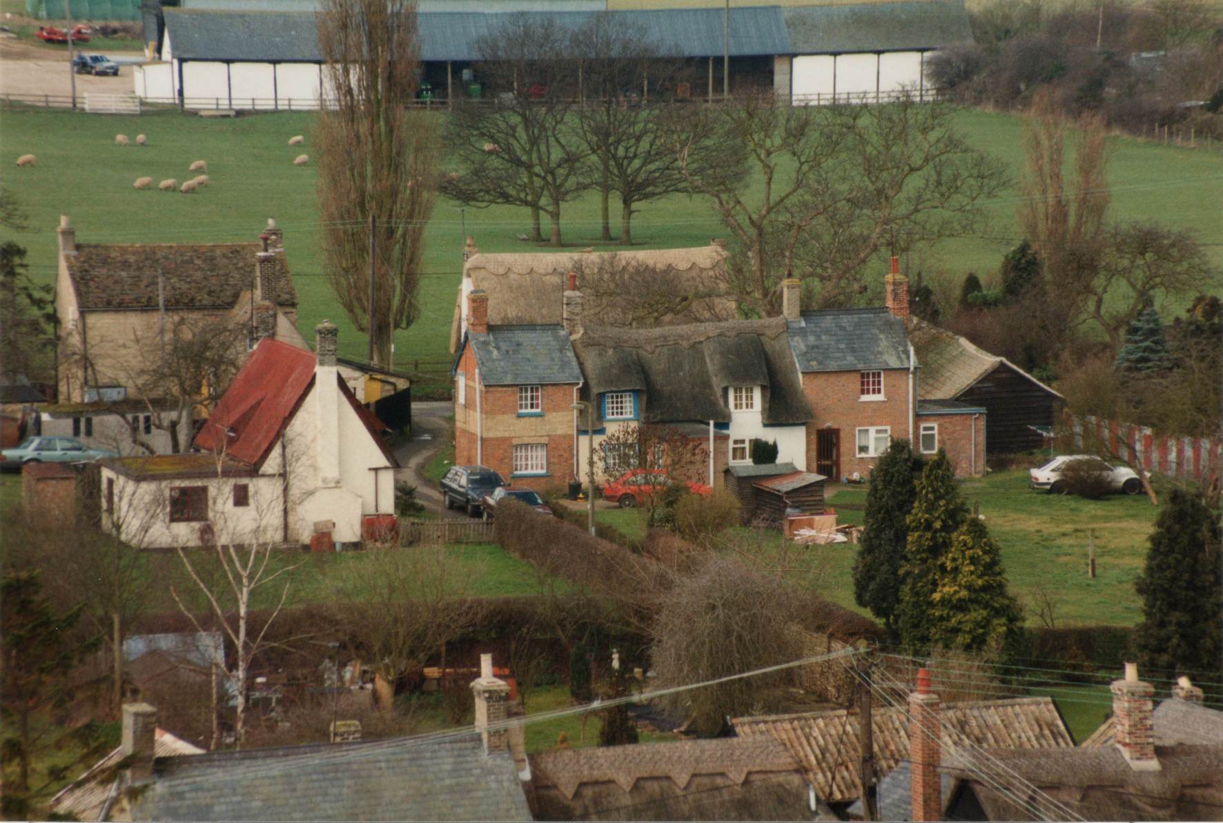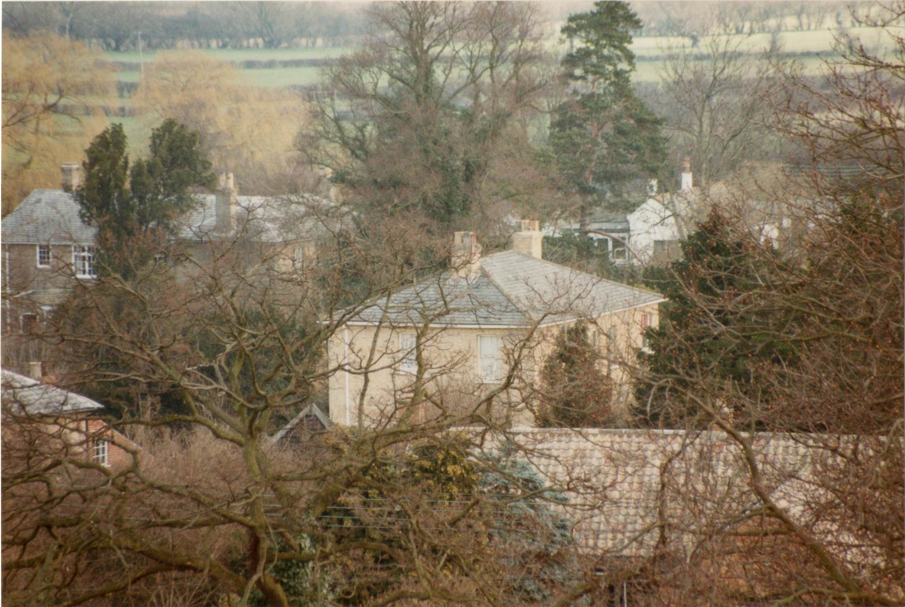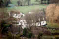
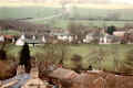
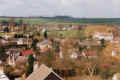
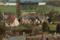
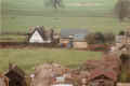
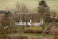
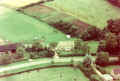
Disbrowe Cottages in the centre, Phyllis Throssell's bungalow behind
and the butcher's shop lower left.
The bungalow has been demolished and replaced with a house since.
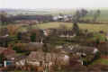
|
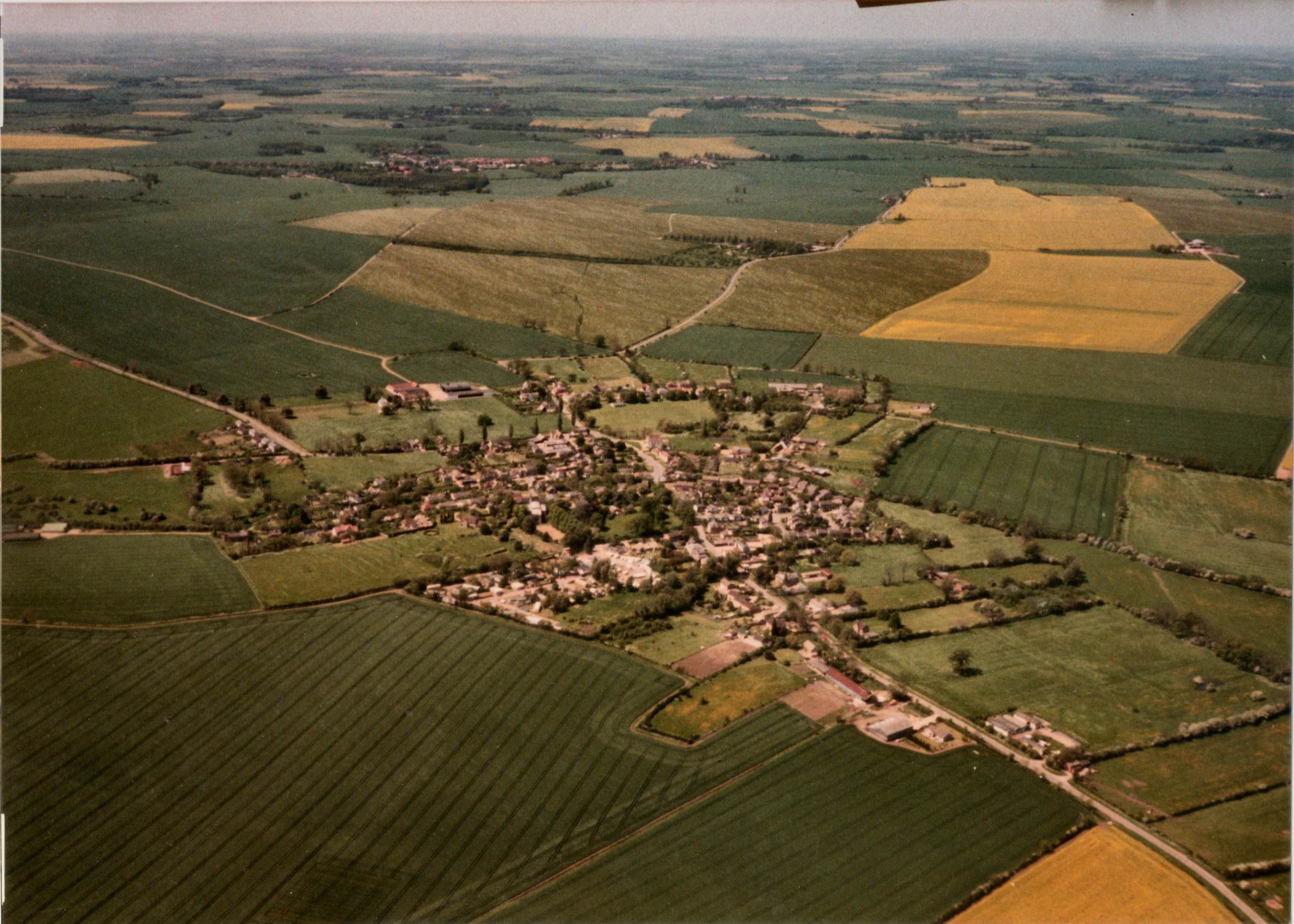
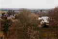
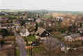
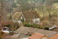
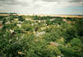
The view towards the Drift over the church paddock with the cedar in
the forground. The Limes can be seen to the left and the new
houses in the Drift in the centre. |
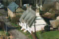
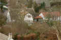
Upperfield on Church Lane, built in the 1970s on part of a farm which
may have belonged to the rectory at one time. There is still
a
gate in the churchyard wall leading to the grounds. |
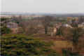
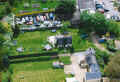
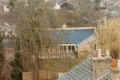
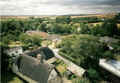
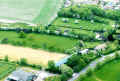
The view eastwards other the Drift showing Constellation Caravans and
the managers bungalow. In the background are some touring
caravans also sold by the caravan park. |
The view westward across the sports field towards Broad End.
The
old pavilion can be seen with Meadow Farm and Lordship Farm in the
background. |
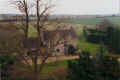
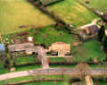
The view across Cotterell's Lane with the manor house in the centre. |

The view westwards down the Causeway with Rectory Cottage in the
foreground and Avenue Farm in the distance. The post office
building (now demolished) is visible in the centre. |
The view looking due west down the Causeway. This was taken
before the Dolphin (number 1) was extended.
|
|
|
The view south west towards Brockley Road with the bungalows built in
the paddock in the centre and Holworthy Cottage in the centre.
The council houses in Brockley Road are in the distance. |
The view looking north west towards Broad End with Cotterell's Lane in
the centre and the manor to the right. The farmyard in
Cotterell's Lane is visible on the left of the picture. |
The view looking west towards Avenue Farm (seen in the distance) before
it was converted into a business park. The conversion of the
wheelright shop was in progress (centre left of picture). |
Spigot Lane from a hot air balloon in 2006 showing the cottages and the
garage. |
|
Looking west with Avenue Farm and the farmhouse in the centre of the
picture. Avenue Farm was still used for farming at the time. |
Looking west to the end of Spigot Lane with Avenue Farm in the distance. |

Looking north west across Smith Street towards Pitt Dean Farm with
Orchard Close in the foreground.
|
Looking north west across the end of Brook Street and Smith Street
showing Broad End in the distance. The old farm buildings of Dears Farm
can be seen, now redeveloped. |
Looking across the Old Rectory towards Boxworth Road showing the
rectory drive and Orchard Close. On the left is the
Throssells
farmyard, now redeveloped for housing. |
Looking west down the Causeway showing the farmyard buildings in
Cotterell's Lane before it was developed for housing. The
rectory
coach house can be seen on the right and the old sports pavilion in the
distance. |
Looking west across Tom's field to Brockley Road. The
bungalow in
the centre stands on the site of the old legion hut built in the 1920s. |
Looking south west with Low Farm in the centre. The bungalows
in
the foreground were built on the site of a pair of cottages that stood
on Church Lane and were demolished in the 1960s. |
Looking towards the eastern end of Cotterell's Lane.
|
Looking across Orchard Close towards Boxworth Road. |

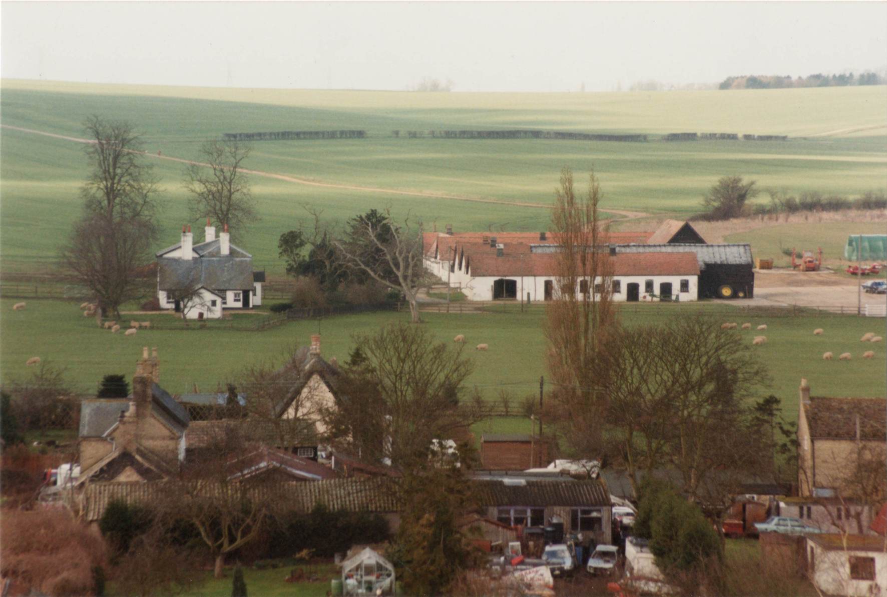
Looking north east over Boxworth road with Essex House in the
foreground, Dale Farm and Martin's Farm in the background. |
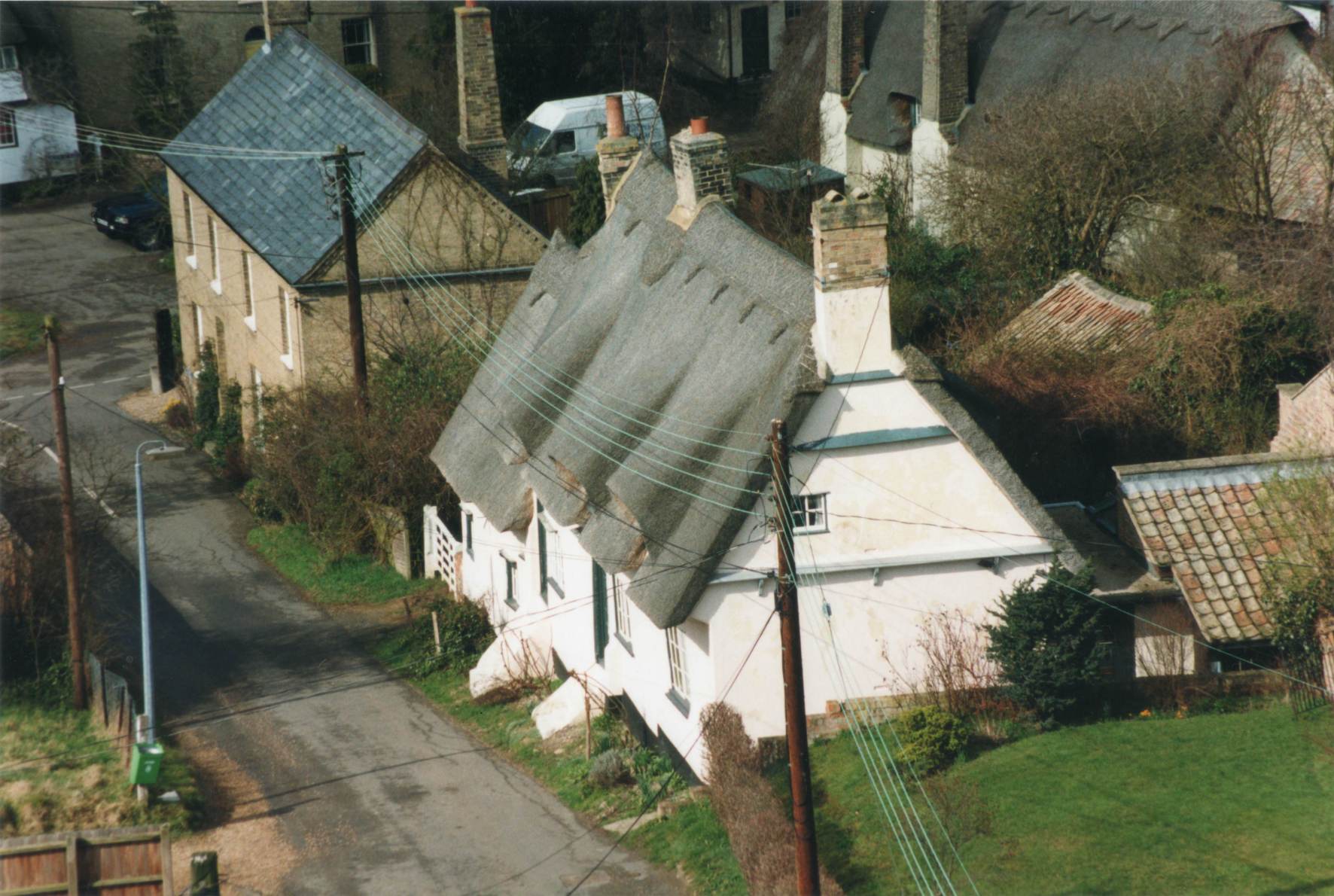
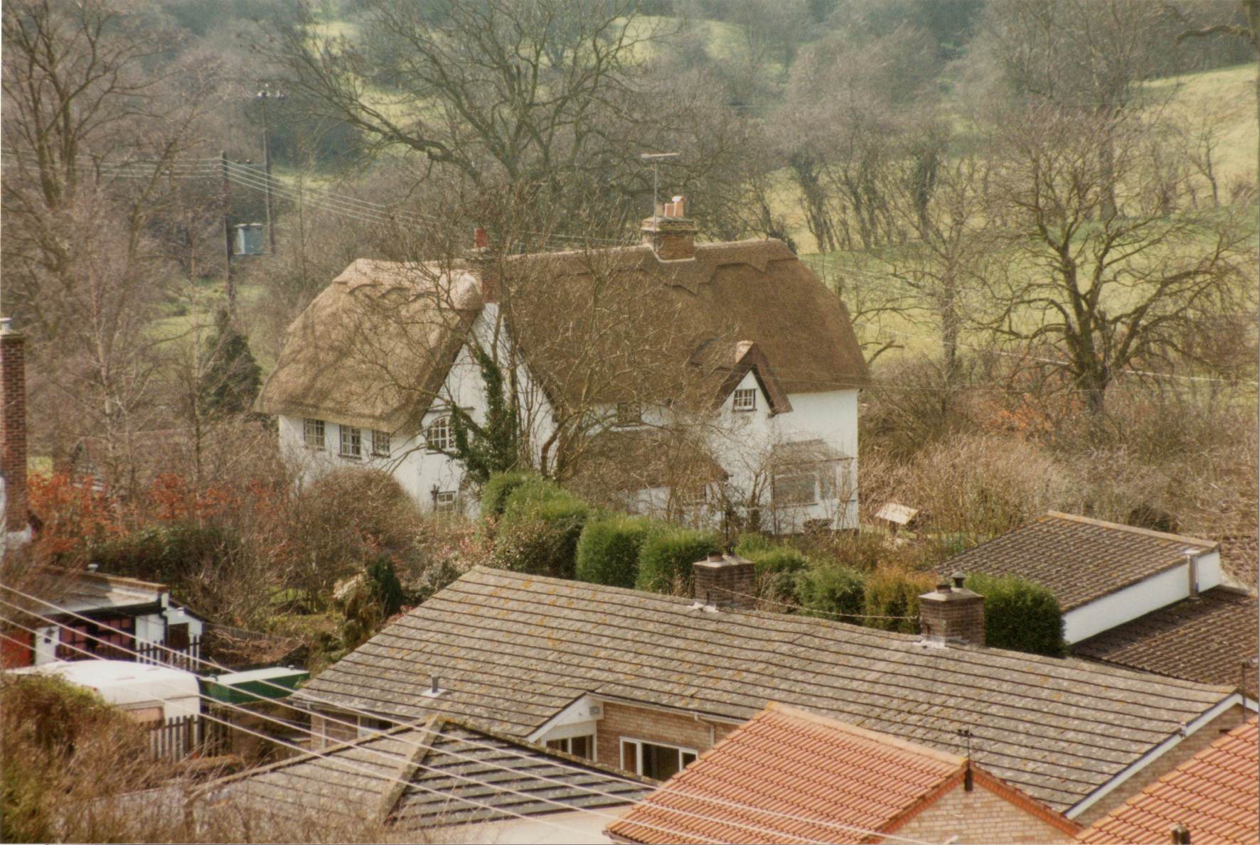
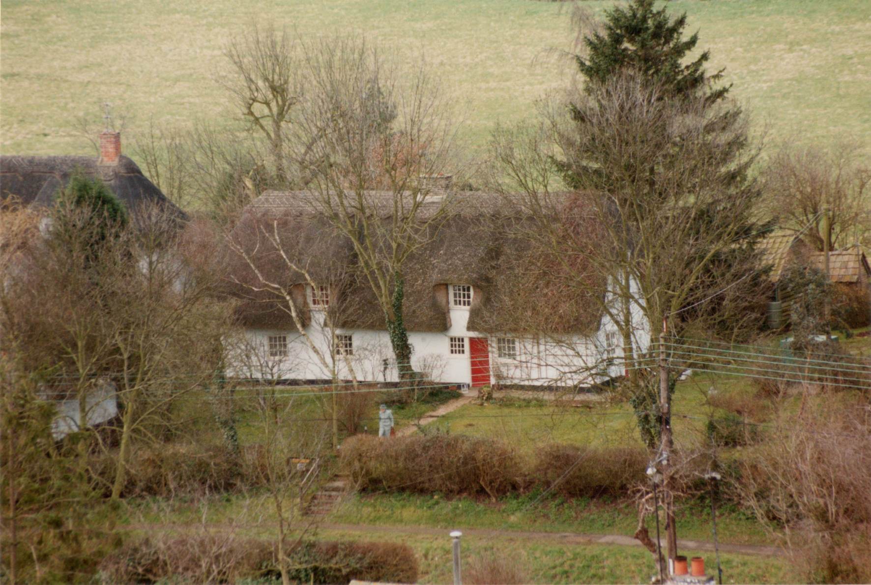
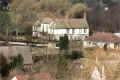
A view of Holworthy Cottage in Brook Street.
|
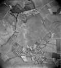
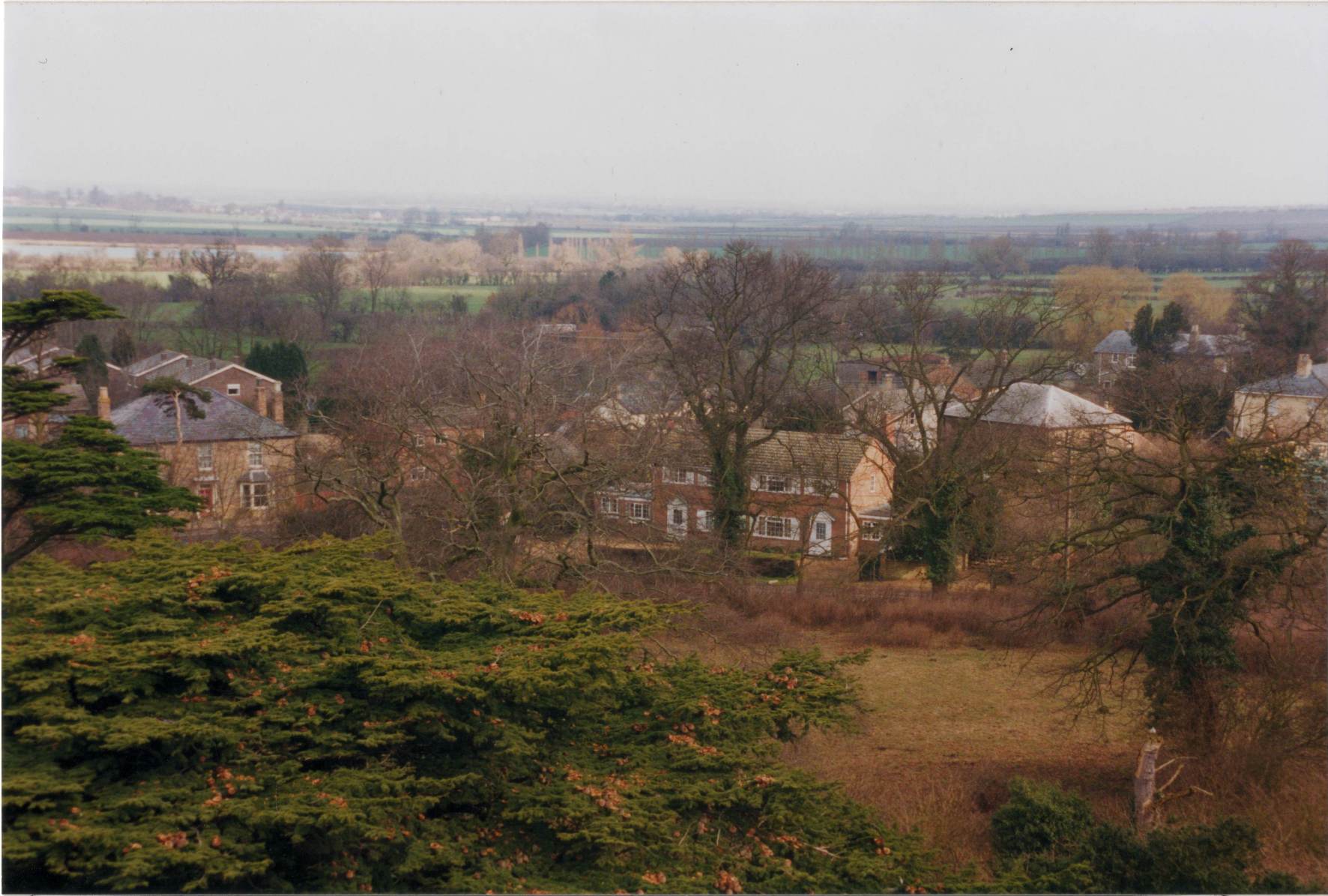
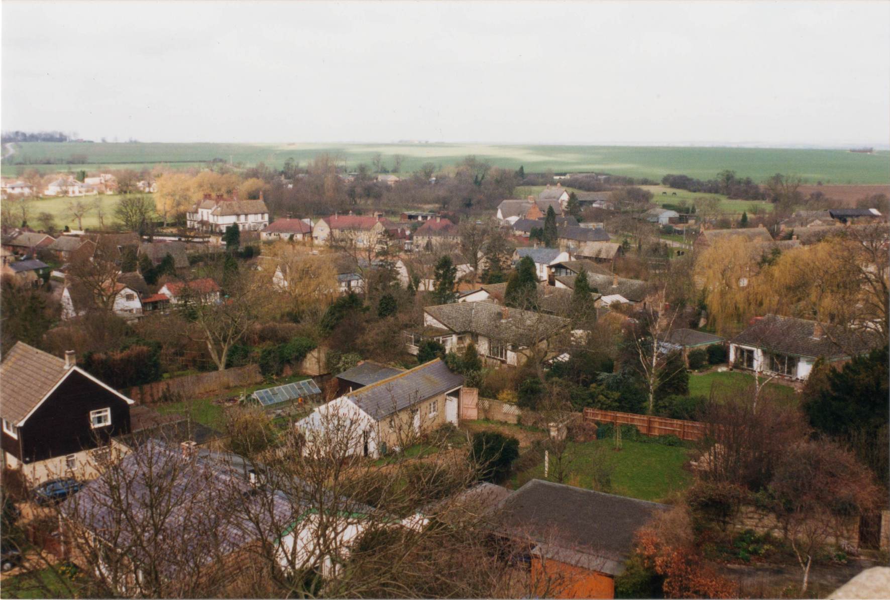
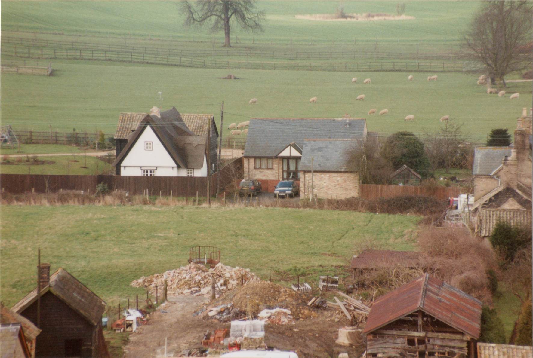
Looking south west across Church Lane from the church tower, probably
in the late 1980s. |
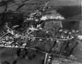
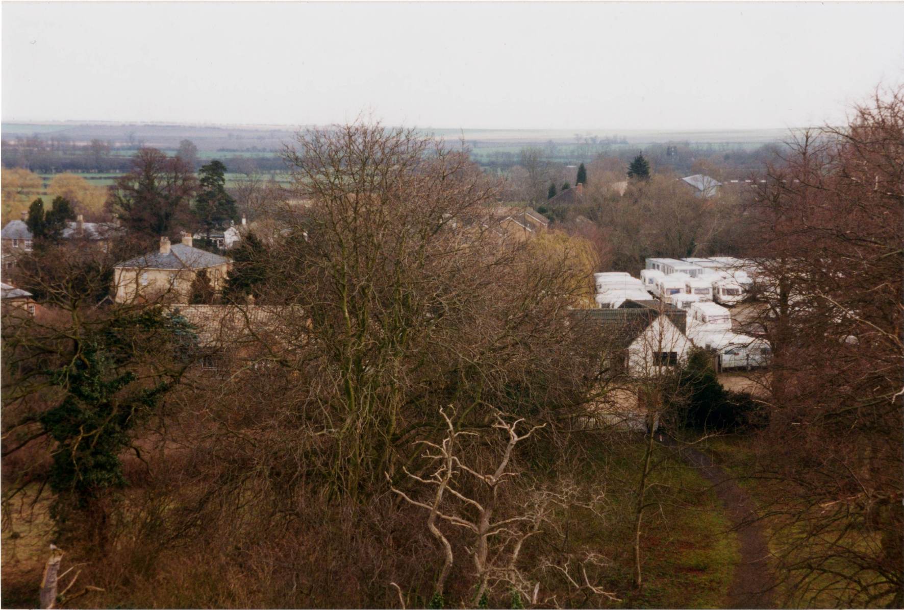
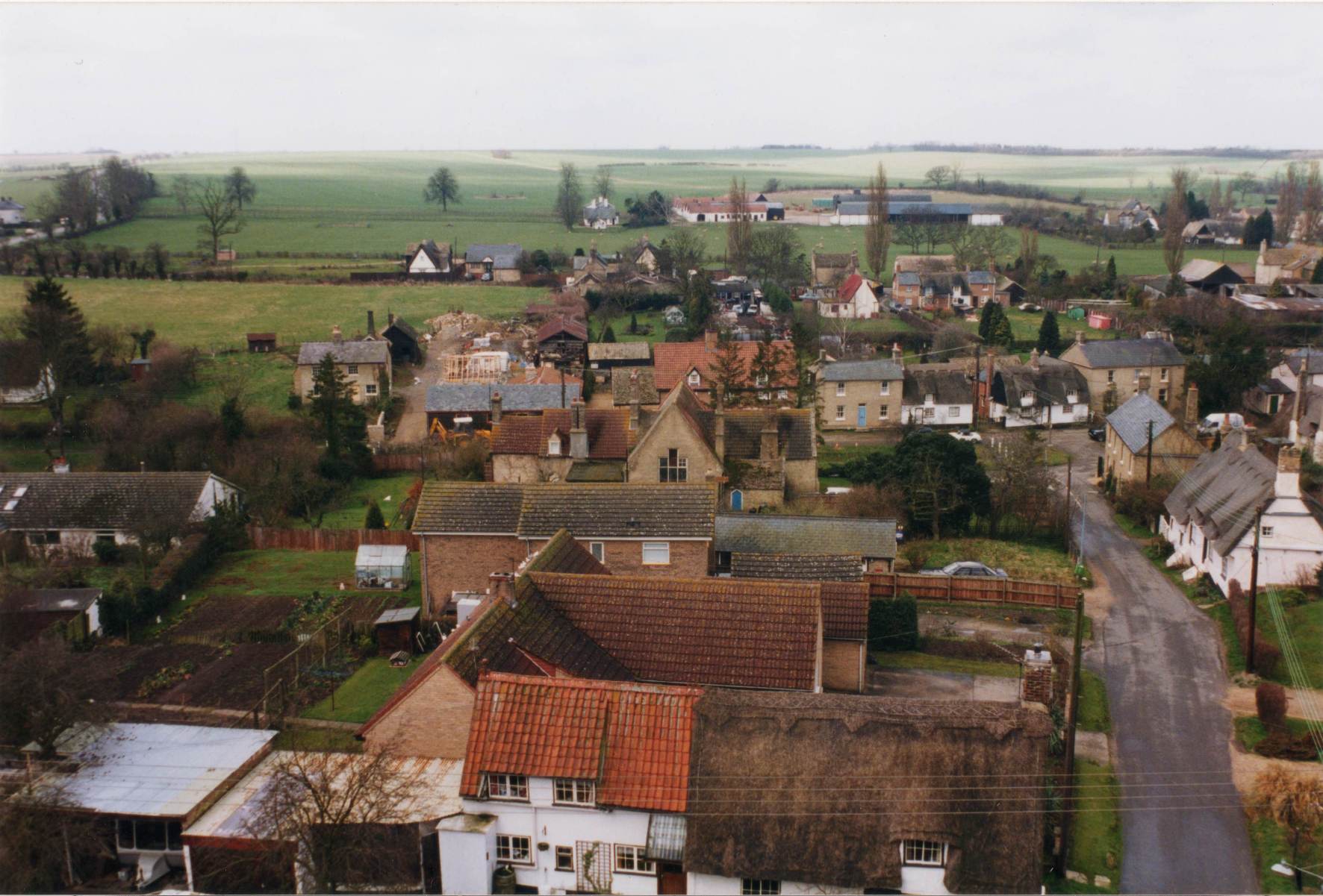
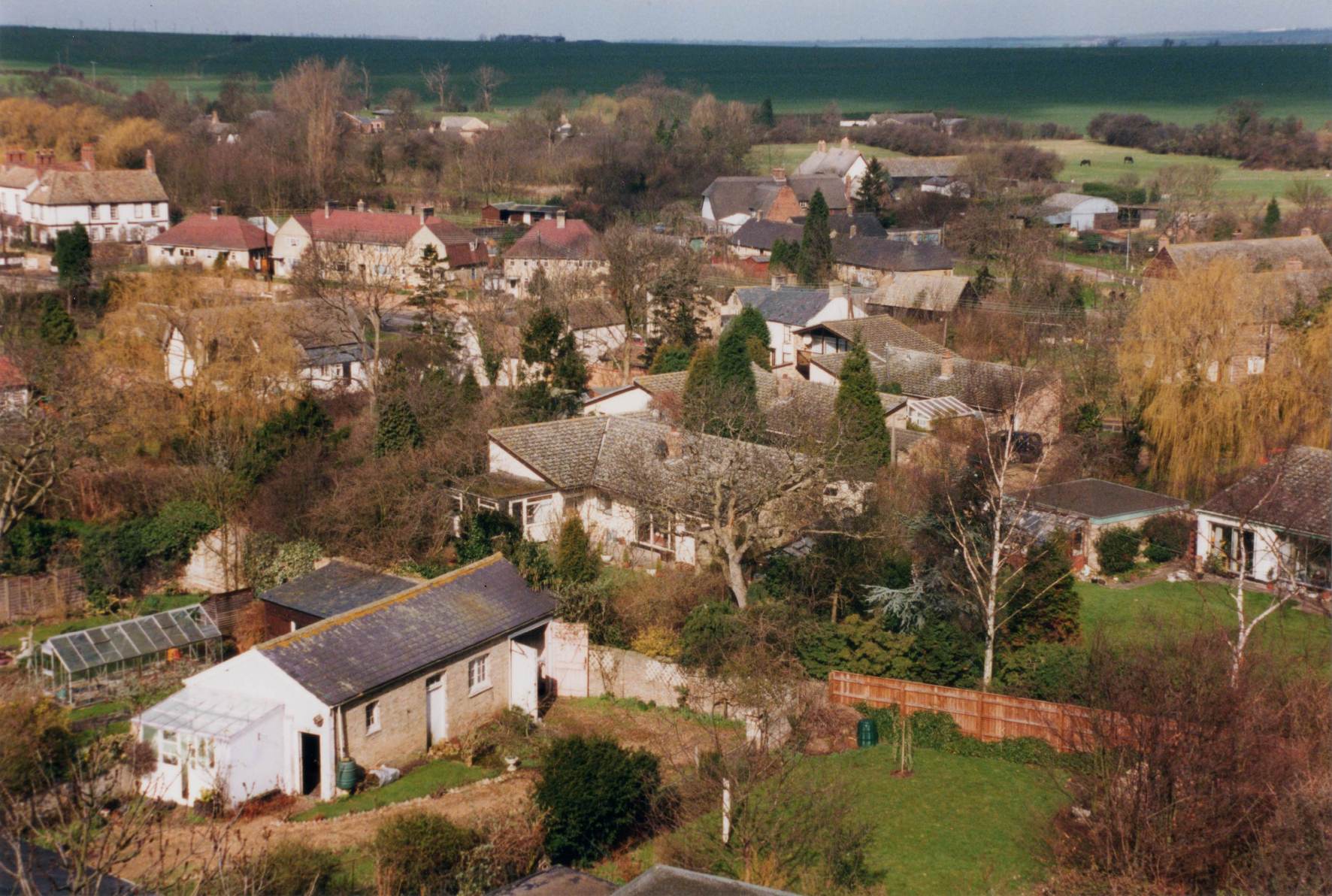
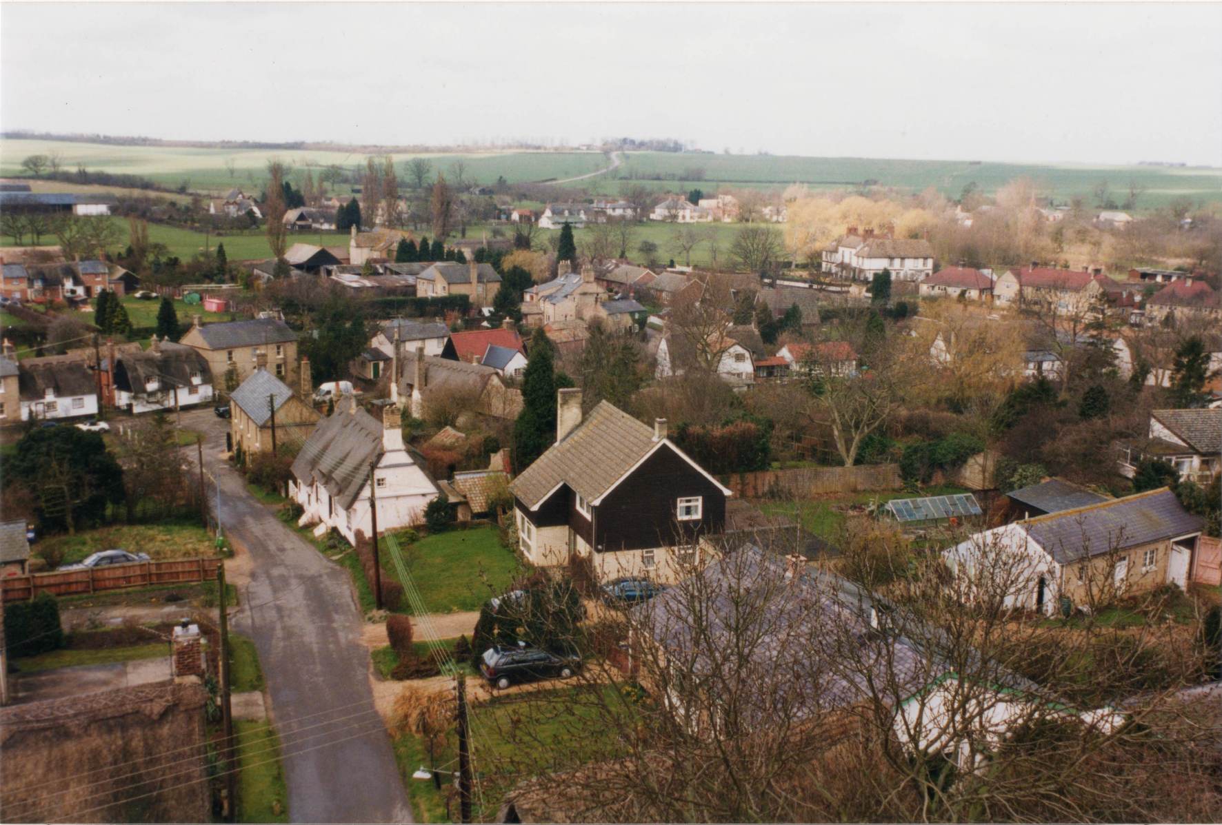
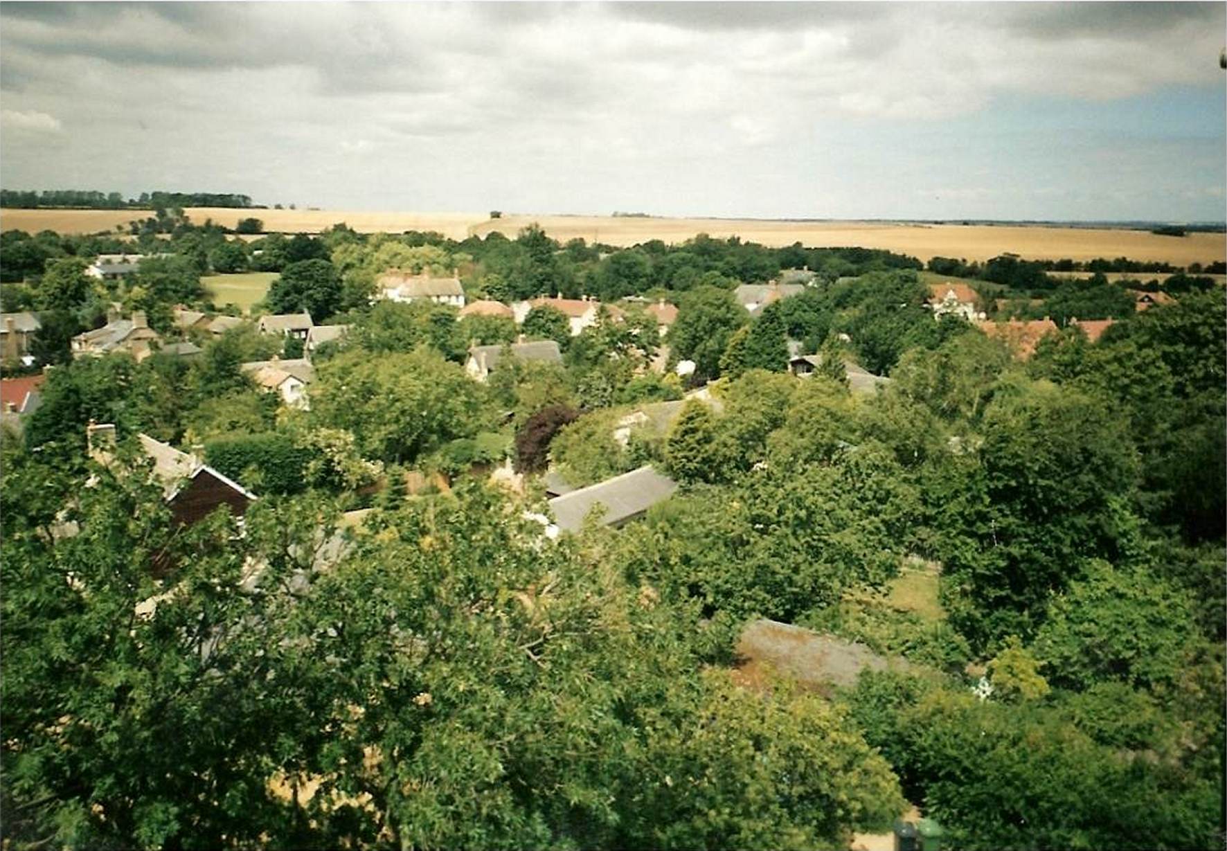
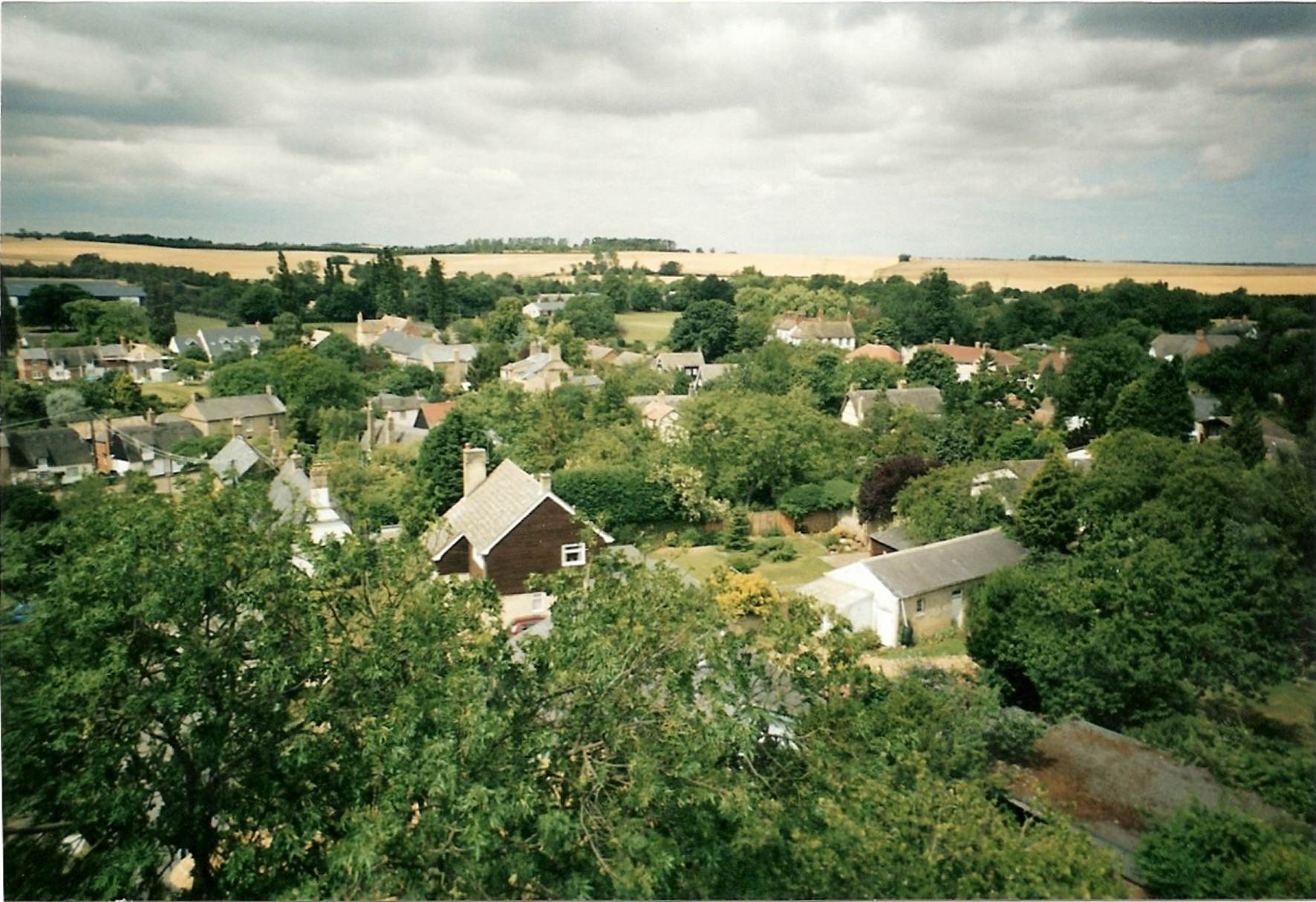
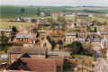
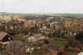
Looking north west across the village from the top of the church tower,
probably in the late 1980s. |

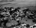
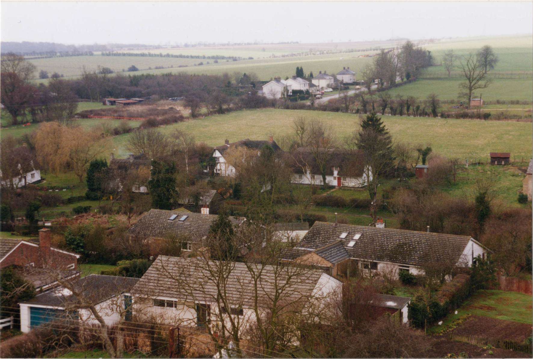
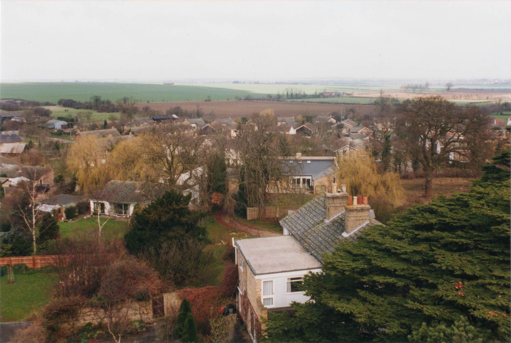
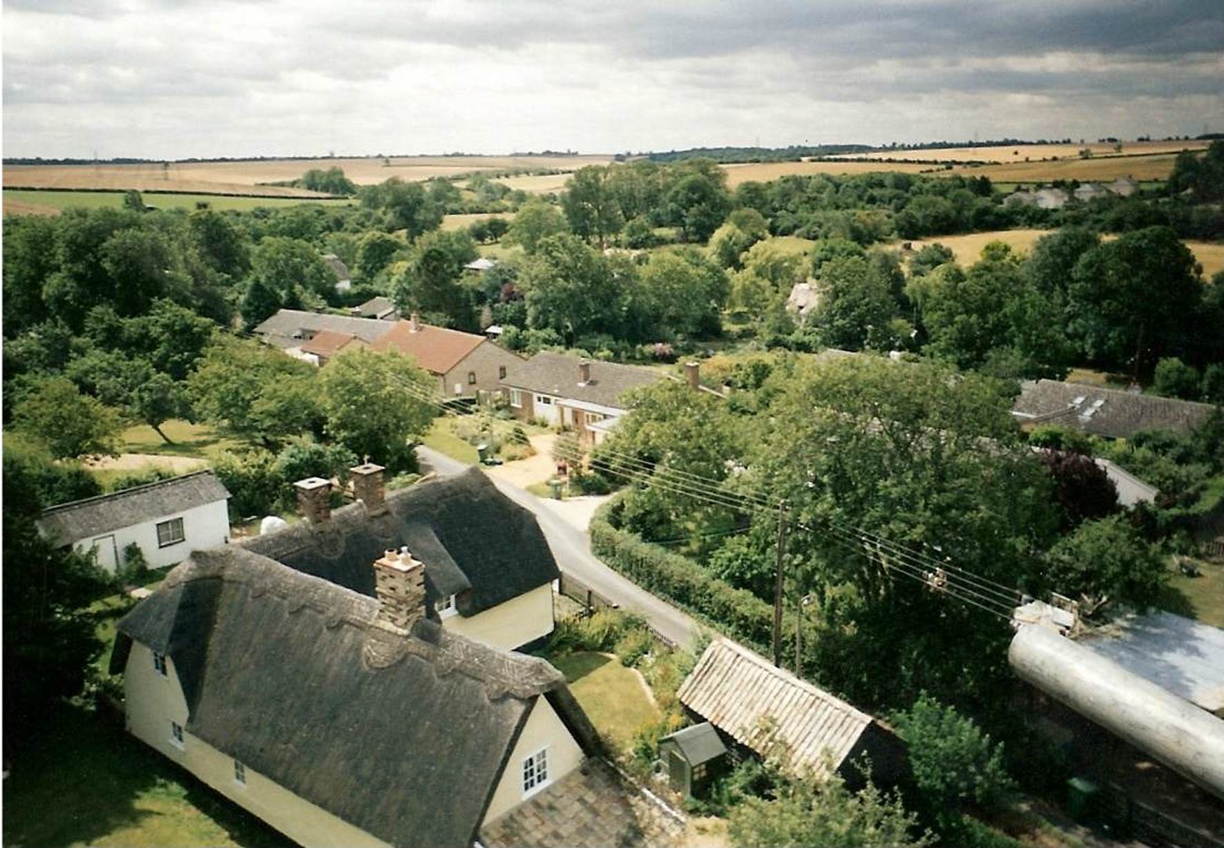
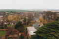
Looking west across the Causeway from the top of the church tower,
probably in the late 1980s. |
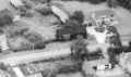
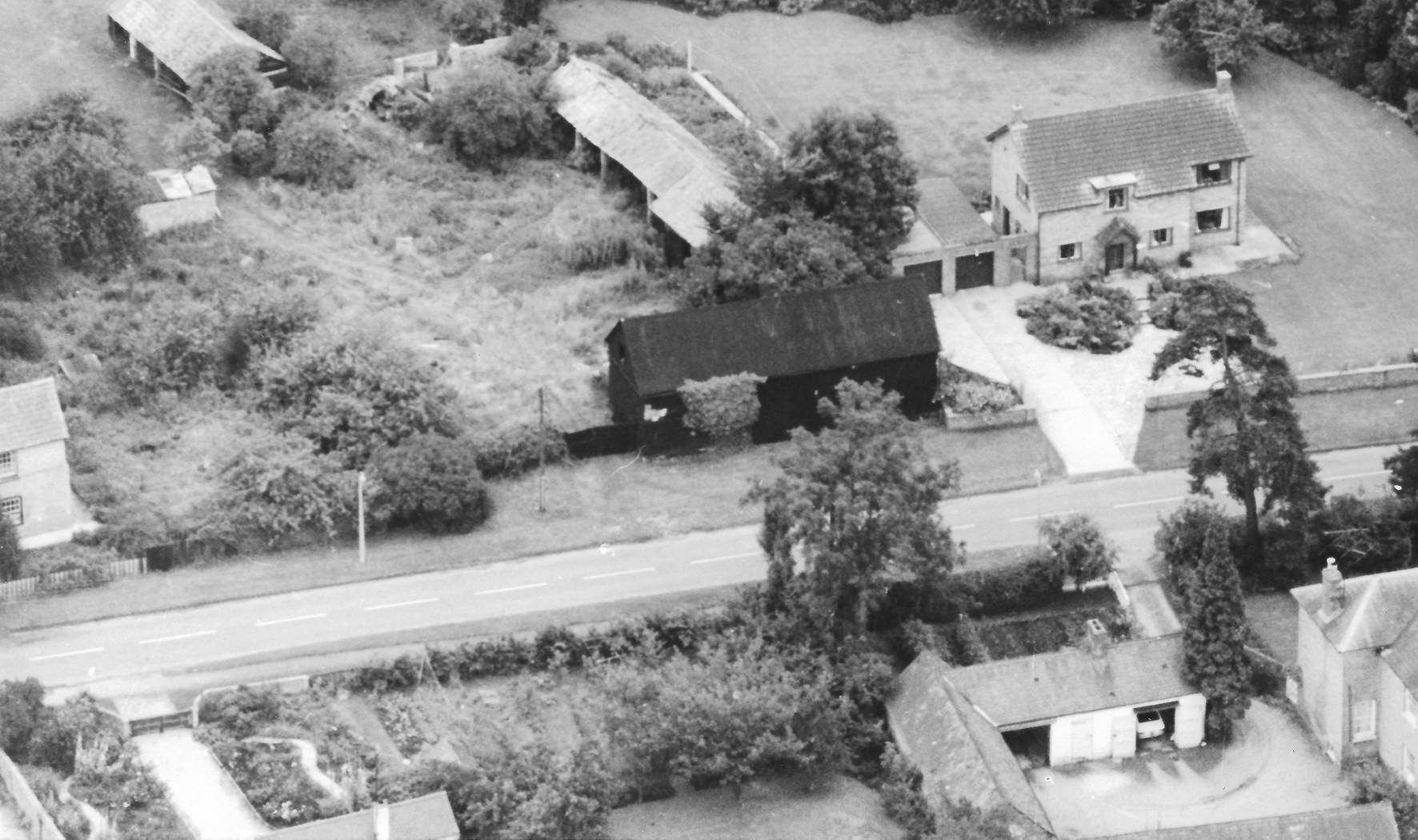
A view of Browns Farm with its farmyard before the farmyard was
redeveloped for housing around 1972. Also visible is number 46
Boxworth
Road built in 1965 on the site of a row of cottages next to Browns
Farm.
This was probably taken in the late 1960s. |
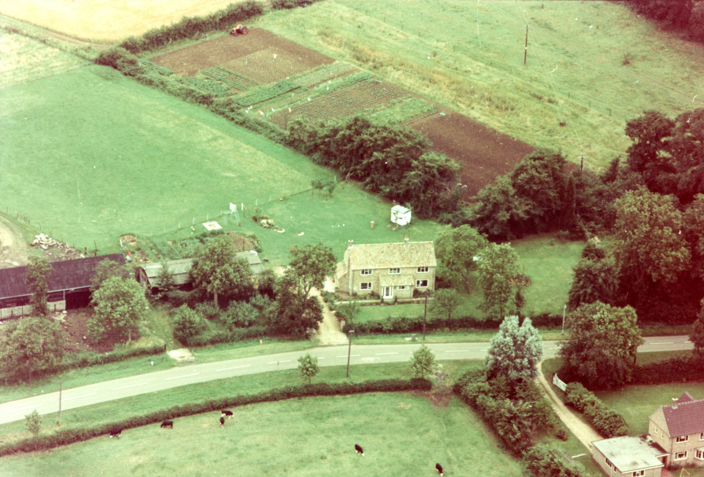
A view of the eastern end of Boxworth Road 1970-1975 showing
numbers 55 and 60. At that time Brown's Farm was still being used
for agriculture and vegetables were being grown in the field behind the
house. |
A view of the eastern end of Boxworth Road in March 1998 showing number
60. A new house has been built next to Browns Farm with a new
outbuilding on what was the field. |
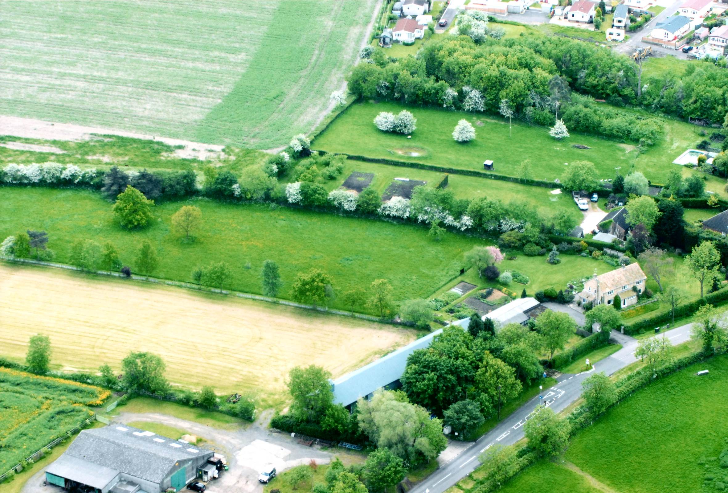
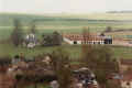
This picture shows the eastern end of Boxworth Road in May 2006. From
left to right Summerlin Farm, the old grain store, number 60 and the
gardens of the next two houses are visible. In the top right the
Constellation Caravan park can be seen. |
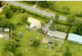
A view of number 60 and part of the old grain store in June 2013.
|